
Greene County, VA GIS Data
Virginia
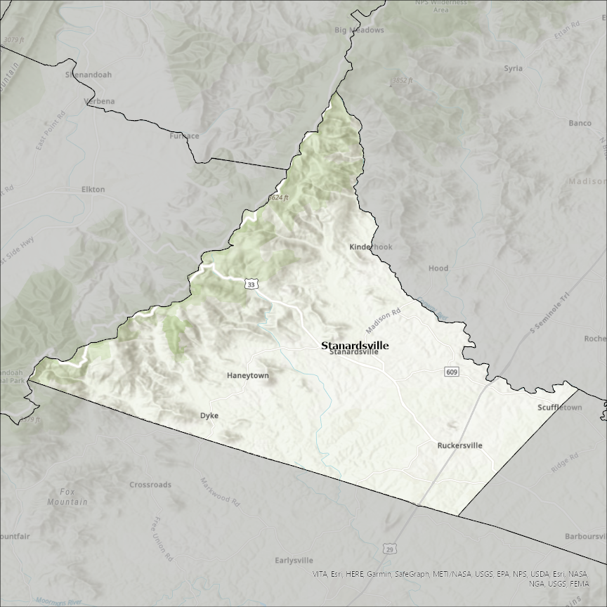
Greene county
CostQuest’s BroadbandFabric data developed by broadband experts and blended with machine learning, is the perfect solution for the challenges broadband decision-makers face. CostQuest provides an accurate view of Broadband Serviceable locations (coordinates of structures eligible to receive service) that can universally tie to other key data attributes such as Service Availability, Engineering and Construction, Costs and Economics, and Demand and Demographics. Let CostQuest power your data-driven decision making with one-of-a-kind data built for the Broadband evolution.
Contact UsCities included
- Demopolis
- Union
- Forkland
- Eutaw
- Boligee
- O'Kean
- Paragould
- Oak Grove Heights
- Marmaduke
- Lafe
- Delaplaine
- Scranton
- Rippey
- Paton
- Siloam
- Greensboro
- Woodville
- White Plains
- Union Point
- Pearl
- Greenfield
- Eldred
- Roodhouse
- Rockbridge
- Kane
- Hillview
- Carrollton
- Wilmington
- White Hall
- Kampsville
- Hardin
- Newberry
- Lyons
- Worthington
- Switz City
- Linton
- Jasonville
- Bloomfield
- Ralston
- Jefferson
- Grand Junction
- Dana
- Churdan
- State Line
- McLain
- Leakesville
- Republic
- Ozark
- Willard
- Walnut Grove
- Strafford
- Rogersville
- Fair Grove
- Springfield
- Battlefield
- Ash Grove
- Athens
- Ravena
- Hudson
- Tannersville
- Hunter
- Coxsackie
- Catskill
- Hookerton
- Walstonburg
- Snow Hill
- Riverside
- Kettering
- Dayton
- Centerville
- Huber Heights
- Clifton
- Yellow Springs
- Xenia
- Spring Valley
- Jamestown
- Fairborn
- Cedarville
- Bowersville
- Bellbrook
- Beavercreek
- Carmichaels
- Waynesburg
- Rices Landing
- Jefferson
- Greensboro
- Clarksville
- Point Marion
- Masontown
- Deemston
- Tusculum
- Mosheim
- Greeneville
- Baileyton
- Stanardsville
- Blacksville