
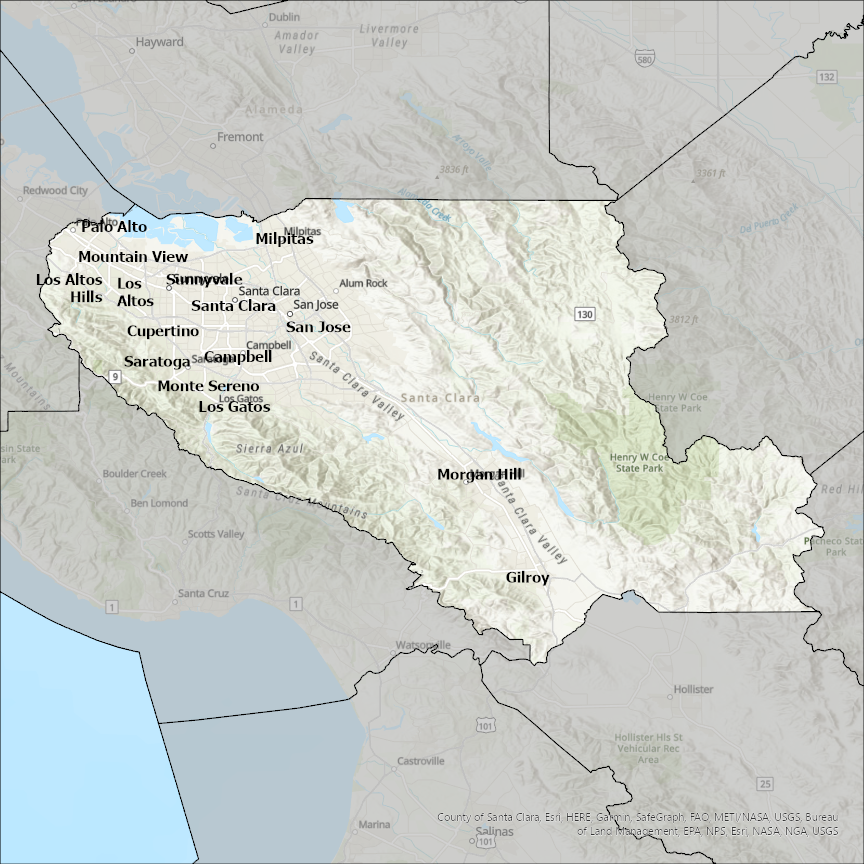
Santa Clara County, CA GIS Data
California
Santa Clara county
CostQuest’s BroadbandFabric data developed by broadband experts and blended with machine learning, is the perfect solution for the challenges broadband decision-makers face. CostQuest provides an accurate view of Broadband Serviceable locations (coordinates of structures eligible to receive service) that can universally tie to other key data attributes such as Service Availability, Engineering and Construction, Costs and Economics, and Demand and Demographics. Let CostQuest power your data-driven decision making with one-of-a-kind data built for the Broadband evolution.
Contact UsCities included
- Sunnyvale
- Saratoga
- Santa Clara
- San Jose
- Palo Alto
- Mountain View
- Morgan Hill
- Monte Sereno
- Milpitas
- Los Gatos
- Los Altos Hills
- Los Altos
- Gilroy
- Cupertino
- Campbell
- Fremont
- Portola Valley
- Menlo Park
- East Palo Alto