
Hancock County, TN GIS Data
Tennessee
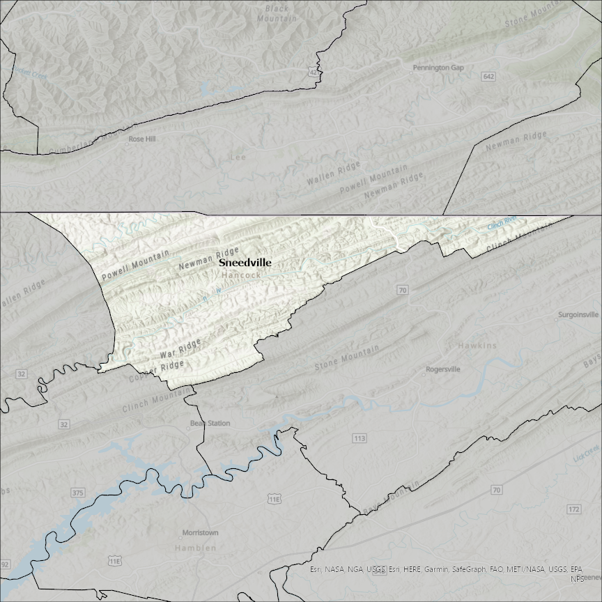
Hancock county
CostQuest’s BroadbandFabric data developed by broadband experts and blended with machine learning, is the perfect solution for the challenges broadband decision-makers face. CostQuest provides an accurate view of Broadband Serviceable locations (coordinates of structures eligible to receive service) that can universally tie to other key data attributes such as Service Availability, Engineering and Construction, Costs and Economics, and Demand and Demographics. Let CostQuest power your data-driven decision making with one-of-a-kind data built for the Broadband evolution.
Contact UsCities included
- Fort Madison
- White Plains
- Sparta
- West Point
- Warsaw
- Pontoosuc
- Plymouth
- Nauvoo
- La Harpe
- Hamilton
- Ferris
- Elvaston
- Carthage
- Bowen
- Bentley
- Basco
- Augusta
- Dallas City
- Wilkinson
- Spring Lake
- Shirley
- New Palestine
- McCordsville
- Greenfield
- Fortville
- Cumberland
- Ingalls
- Tell City
- Cannelton
- Fishers
- Lawrence
- Indianapolis city (balance)
- Keokuk
- Woden
- Klemme
- Kanawha
- Goodell
- Garner
- Forest City
- Crystal Lake
- Corwith
- Britt
- Lewisport
- Hawesville
- Ellsworth
- Waveland
- Bay St. Louis
- Forest
- Bluffton
- Wellsville
- East Liverpool
- Toronto
- Fostoria
- North Baltimore
- Bloomdale
- Bairdstown
- Vanlue
- Van Buren
- Rawson
- Mount Cory
- Mount Blanchard
- McComb
- Jenera
- Findlay
- Benton Ridge
- Arlington
- Arcadia
- Ohioville
- Sneedville
- New Cumberland
- Chester
- Weirton