
Butler County, PA GIS Data
Pennsylvania
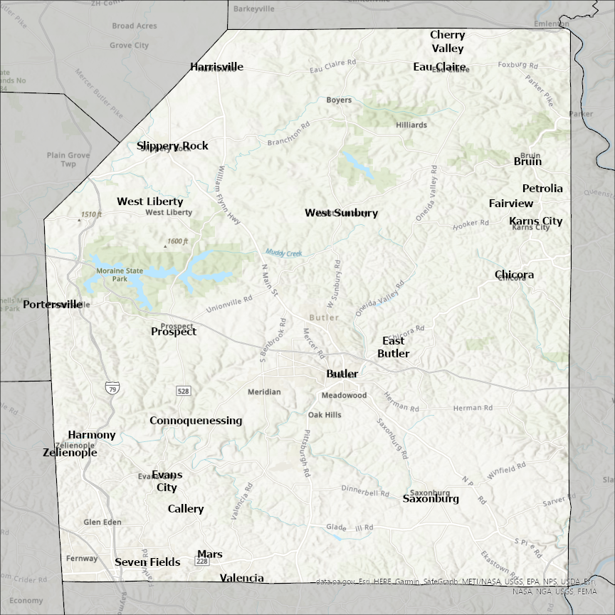
Butler county
CostQuest’s BroadbandFabric data developed by broadband experts and blended with machine learning, is the perfect solution for the challenges broadband decision-makers face. CostQuest provides an accurate view of Broadband Serviceable locations (coordinates of structures eligible to receive service) that can universally tie to other key data attributes such as Service Availability, Engineering and Construction, Costs and Economics, and Demand and Demographics. Let CostQuest power your data-driven decision making with one-of-a-kind data built for the Broadband evolution.
Contact UsCities included
- McKenzie
- Greenville
- Georgiana
- Dumont
- West College Corner
- Clarksville
- Bristow
- Aredale
- Aplington
- Allison
- Shell Rock
- Parkersburg
- New Hartford
- Greene
- Ackley
- Elbing
- Whitewater
- Towanda
- Rose Hill
- Potwin
- Leon
- Latham
- El Dorado
- Douglass
- Cassoday
- Benton
- Augusta
- Andover
- Wichita
- Burns
- Rochester
- Morgantown
- Woodbury
- Fisk
- Qulin
- Poplar Bluff
- Neelyville
- Bruno
- Brainard
- Bellwood
- Abie
- Ulysses
- Surprise
- Rising City
- Octavia
- Linwood
- Garrison
- Dwight
- David City
- Forest Park
- Springdale
- Sharonville
- Fairfield
- Monroe
- Middletown
- College Corner
- Somerville
- Seven Mile
- Trenton
- Oxford
- New Miami
- Millville
- Jacksonburg
- Hamilton
- Franklin
- Mason
- Parker
- Freeport
- Saxonburg
- West Liberty
- Valencia
- Zelienople
- West Sunbury
- Slippery Rock
- Seven Fields
- Prospect
- Portersville
- Petrolia
- Chicora
- Mars
- Karns City
- Harrisville
- Harmony
- Fairview
- Cherry Valley
- Evans City
- Eau Claire
- East Butler
- Connoquenessing
- Callery
- Butler
- Bruin