
Douglas County, NE GIS Data
Nebraska
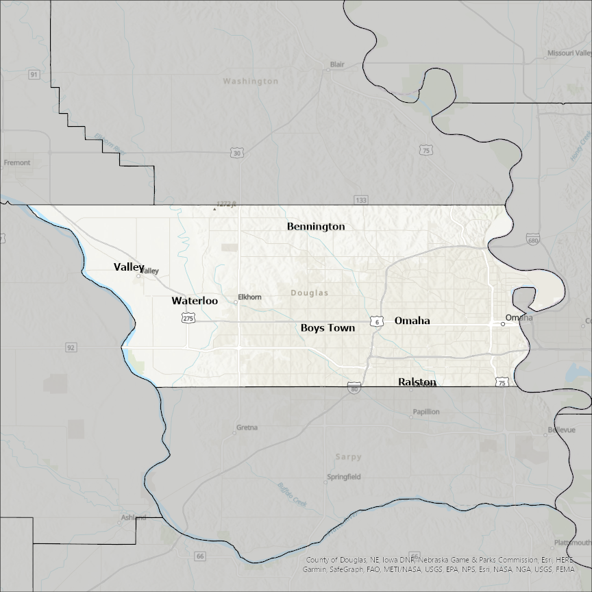
Douglas county
CostQuest’s BroadbandFabric data developed by broadband experts and blended with machine learning, is the perfect solution for the challenges broadband decision-makers face. CostQuest provides an accurate view of Broadband Serviceable locations (coordinates of structures eligible to receive service) that can universally tie to other key data attributes such as Service Availability, Engineering and Construction, Costs and Economics, and Demand and Demographics. Let CostQuest power your data-driven decision making with one-of-a-kind data built for the Broadband evolution.
Contact UsCities included
- South Lake Tahoe
- Austell
- Aurora
- Littleton
- Castle Pines North
- Parker
- Lone Tree
- Larkspur
- Castle Rock
- Palmer Lake
- Centennial
- Villa Rica
- Longview
- Chattahoochee Hills
- Douglasville
- Camargo
- Villa Grove
- Tuscola
- Newman
- Hindsboro
- Garrett
- Arcola
- Arthur
- Atwood
- Council Bluffs
- Carter Lake
- Lawrence
- Eudora
- Baldwin City
- Lecompton
- Millerville
- Kensington
- Garfield
- Osakis
- Nelson
- Miltona
- Forada
- Evansville
- Carlos
- Brandon
- Alexandria
- Duluth
- Ava
- La Vista
- Bellevue
- Waterloo
- Boys Town
- Valley
- Ralston
- Omaha
- Bennington
- Carson City
- Dunes City
- Yoncalla
- Winston
- Sutherlin
- Roseburg
- Riddle
- Elkton
- Oakland
- Myrtle Creek
- Reedsport
- Glendale
- Drain
- Canyonville
- Armour
- Corsica
- Delmont
- Waterville
- Rock Island
- Mansfield
- Coulee Dam
- Entiat
- Poplar
- Oliver
- Lake Nebagamon
- Wenatchee
- East Wenatchee
- Bridgeport
- Superior
- Superior
- Solon Springs