
Platte County, MO GIS Data
Missouri
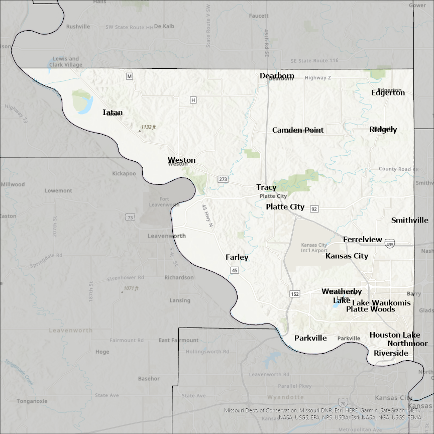
Platte county
CostQuest’s BroadbandFabric data developed by broadband experts and blended with machine learning, is the perfect solution for the challenges broadband decision-makers face. CostQuest provides an accurate view of Broadband Serviceable locations (coordinates of structures eligible to receive service) that can universally tie to other key data attributes such as Service Availability, Engineering and Construction, Costs and Economics, and Demand and Demographics. Let CostQuest power your data-driven decision making with one-of-a-kind data built for the Broadband evolution.
Contact UsCities included
- Kansas City
- Atchison
- Lansing
- Ridgely
- Platte Woods
- Houston Lake
- Ferrelview
- Weatherby Lake
- Tracy
- Camden Point
- Smithville
- Weston
- Kansas City
- Riverside
- Platte City
- Parkville
- Northmoor
- Lake Waukomis
- Iatan
- Farley
- Edgerton
- Dearborn
- Lewis and Clark Village
- Newman Grove
- Humphrey
- Tarnov
- Platte Center
- Monroe
- Lindsay
- Duncan
- Creston
- Cornlea
- Columbus
- Chugwater
- Wheatland
- Hartville
- Guernsey
- Glendo