
Logan County, KY GIS Data
Kentucky
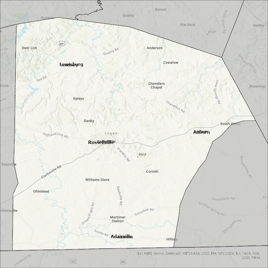
Logan county
CostQuest’s BroadbandFabric data developed by broadband experts and blended with machine learning, is the perfect solution for the challenges broadband decision-makers face. CostQuest provides an accurate view of Broadband Serviceable locations (coordinates of structures eligible to receive service) that can universally tie to other key data attributes such as Service Availability, Engineering and Construction, Costs and Economics, and Demand and Demographics. Let CostQuest power your data-driven decision making with one-of-a-kind data built for the Broadband evolution.
Contact UsCities included
- New Holland
- Booneville
- Blue Mountain
- Ratcliff
- Subiaco
- Scranton
- Paris
- Morrison Bluff
- Magazine
- Caulksville
- Peetz
- Merino
- Iliff
- Sterling
- Fleming
- Crook
- Mount Pulaski
- Middletown
- Hartsburg
- Emden
- San Jose
- Lincoln
- Latham
- Elkhart
- Broadwell
- Atlanta
- Winona
- Russell Springs
- Oakley
- Allensville
- Auburn
- Adairville
- Lewisburg
- Russellville
- Zanesfield
- Stapleton
- Gandy
- Napoleon
- Gackle
- Fredonia
- West Mansfield
- Rushsylvania
- Quincy
- Lehr
- Belle Center
- Ridgeway
- West Liberty
- Valley Hi
- Russells Point
- Lakeview
- Huntsville
- De Graff
- Bellefontaine
- North Lewisburg
- Orlando
- Mulhall
- Edmond
- Cashion
- Meridian
- Marshall
- Langston
- Guthrie
- Crescent
- Coyle
- Cimarron City
- Cedar Valley
- West Logan
- Mitchell Heights
- Man
- Logan
- Chapmanville