
Benton County, AR GIS Data
Arkansas
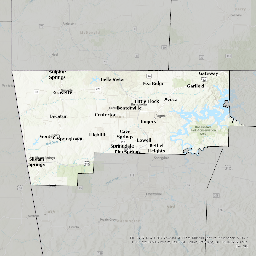
Benton county
CostQuest’s BroadbandFabric data developed by broadband experts and blended with machine learning, is the perfect solution for the challenges broadband decision-makers face. CostQuest provides an accurate view of Broadband Serviceable locations (coordinates of structures eligible to receive service) that can universally tie to other key data attributes such as Service Availability, Engineering and Construction, Costs and Economics, and Demand and Demographics. Let CostQuest power your data-driven decision making with one-of-a-kind data built for the Broadband evolution.
Contact UsCities included
- Atkins
- Springdale
- Elm Springs
- Sulphur Springs
- Springtown
- Siloam Springs
- Rogers
- Pea Ridge
- Lowell
- Little Flock
- Highfill
- Garfield
- Gravette
- Decatur
- Gentry
- Gateway
- Centerton
- Cave Springs
- Bethel Heights
- Bentonville
- Bella Vista
- Avoca
- Otterbein
- Fowler
- Earl Park
- Boswell
- Ambia
- Oxford
- Walford
- Vinton
- Van Horne
- Garrison
- Blairstown
- Belle Plaine
- Urbana
- Shellsburg
- Norway
- Newhall
- Mount Auburn
- Luzerne
- Keystone
- Dysart
- Foley
- Gilman
- Sauk Rapids
- Sartell
- St. Cloud
- Royalton
- Rice
- Hickory Flat
- Ashland
- Snow Lake Shores
- Potts Camp
- Southwest City
- Warsaw
- Climax Springs
- Lincoln
- Ionia
- Cole Camp
- West Siloam Springs
- Adair Village
- Monroe
- Corvallis
- Albany
- Philomath
- Millersburg
- Camden
- Big Sandy
- New Johnsonville
- Grandview
- Pasco
- Kennewick
- West Richland
- Richland
- Prosser
- Benton City